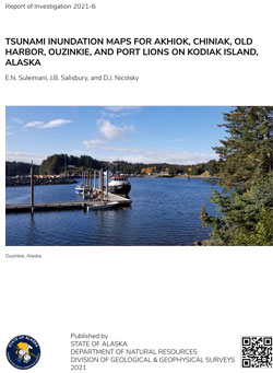
Suleimani, E.N., Salisbury, J.B., and Nicolsky, D.J., 2021, Tsunami inundation maps for Akhiok, Chiniak, Old Harbor, Ouzinkie, and Port Lions on Kodiak Island, Alaska: Alaska Division of Geological & Geophysical Surveys Report of Investigation 2021-6, 73 p., 5 sheets. https://doi.org/10.14509/30760
 Report Information
 Maps & Other Oversized Sheets
 Geospatial & Analytical Data
| Tsunami inundation maps for Akhiok, Chiniak, Old Harbor, Ouzinkie, and Port Lions | Data File Format | File Size | Info |
|---|---|---|---|
| Download ri2021_006_tsunami-inundation-maps-kodiak-island | Shapefile | 15.5 M | Metadata - Read me |
Active Fault; Afognak Bay; Akhiok; Akhiok Bay; Akhiok Island; Alitak Bay; Amee Bay; Amee Island; Amik Island; Barling Bay; Brookers Lagoon; Camp Cove; Chiniak; Chiniak Bay; Chiniak Lake; Chiniak River; City Of Akhiok; City Of Port Lions; Coastal; Coastal and River; Cozy Cove; Cub Island; DGGS; Earthquake; Egg Island; Emergency Preparedness; Engineering; Engineering Geology; Fault Displacement; Faulting; Faults; Flood; Geologic; Geologic Hazards; Geological Process; Geology; Geotechnical; Hazards; Holocene; Inundation; Isthmus Bay; Kekur Island; Kempff Bay; Kizhuyak Bay; Land Subsidence; Lazy Bay; Little Narrows; Marine Geology; Marmot Bay; Middle Island; Midway Bay; Miller Island; Modeling; Narrow Strait; Neotectonics; Neva Cove; North Twin Peak; Nut Island; Old Harbor; Ouzinkie; Pacific Ocean; Port Lions; Port Wakefield; Prokoda Island; Roslyn Creek; Round Hill; Sawmill Lake; Seismic Hazards; Settler Cove; Sheep Island; Sitkalidak Passage; Sitkalidak Strait; Subsidence; Surface; Svitlak Island; Tectonics; Three Sisters Rocks; Tides; Topography; Tsunami; Twin Creek; Twin Peaks; Uzinki Harbor; geoscientificInformation


